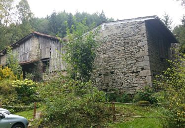
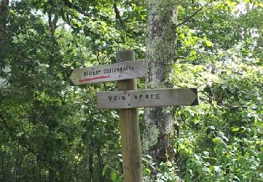
4,4 km | 5,7 km-effort
Aron
LOUIS09
Utilisateur
Longueur
8,5 km
Altitude max
537 m
Dénivelé positif
194 m
Km-Effort
11,1 km
Altitude min
375 m
Dénivelé négatif
195 m
Boucle
Oui
Date de création :
2018-04-17 13:50:47.673
Dernière modification :
2018-04-17 13:50:47.673
2h40
Difficulté : Inconnu
Application GPS de randonnée GRATUITE
À propos
Randonnée Marche de 8,5 km à découvrir à Occitanie, Ariège, La Bastide-de-Sérou. Cette randonnée est proposée par LOUIS09.
Localisation
Pays :
France
Région :
Occitanie
Département/Province :
Ariège
Commune :
La Bastide-de-Sérou
Localité :
Unknown
Départ:(Dec)
Départ:(UTM)
371942 ; 4763143 (31T) N.
Commentaires
Randonnées à proximité
Unjat, Pelechou,Unjat
A pied
Très facile
(2)
La Bastide-de-Sérou,
Occitanie,
Ariège,
France
Inconnu
Oui
la bastide Nescus caussadou
Course à pied
Moyen
La Bastide-de-Sérou,
Occitanie,
Ariège,
France
15 km | 23 km-effort
2h 0min
Oui
segalas la bouiche et retour
V.T.T.
Facile
La Bastide-de-Sérou,
Occitanie,
Ariège,
France
36 km | 42 km-effort
2h 47min
Non
Boucle des Balcons des Pyrénées - La Bastide-de-Sérou - Saurat
Cheval
Très difficile
La Bastide-de-Sérou,
Occitanie,
Ariège,
France
33 km | 58 km-effort
5h 0min
Non
Chemin de St Jacques - Mondely - Montjoie
Cheval
Très difficile
La Bastide-de-Sérou,
Occitanie,
Ariège,
France
28 km | 39 km-effort
3h 15min
Non
Boucle dans le Massif de l'Arize - Nescus - Allières
Cheval
Difficile
Nescus,
Occitanie,
Ariège,
France
12,3 km | 17 km-effort
1h 30min
Non
FR Foix Lac de Mondély
Marche
Facile
Suzan,
Occitanie,
Ariège,
France
11,2 km | 15 km-effort
3h 38min
Oui
boucle la bastide-Nescus
Course à pied
Moyen
La Bastide-de-Sérou,
Occitanie,
Ariège,
France
9,2 km | 13,4 km-effort
1h 9min
Oui
découverte vers Nescus
Course à pied
Moyen
La Bastide-de-Sérou,
Occitanie,
Ariège,
France
5,8 km | 8,4 km-effort
52min
Oui